Reynolds Road, Aldrington, Hove
Introduction
The photograph on this page of Reynolds Road, Aldrington, Hove by Simon Carey as part of the Geograph project.
The Geograph project started in 2005 with the aim of publishing, organising and preserving representative images for every square kilometre of Great Britain, Ireland and the Isle of Man.

There are currently over 7.5m images from over 14,400 individuals and you can help contribute to the project by visiting https://www.geograph.org.uk
Reynolds Road, Aldrington, Hove
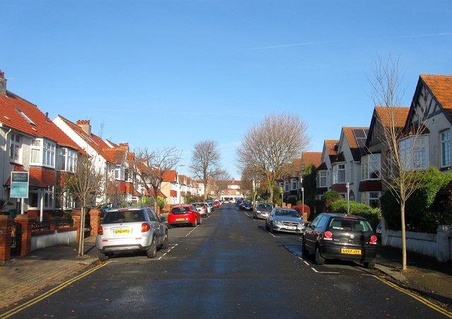
Image: © Simon Carey Taken: 11 Dec 2016
A residential road that links Lawrence Road to Portland Road that was developed in the 1920s. One of a number in the vicinity named after artists, in the case Sir Joshua Reynolds.
Images are licensed for reuse under creativecommons.org/licenses/by-sa/2.0
Image Location
Latitude
50.832892
Longitude
-0.188416