Lawrence Road, Aldrington, Hove
Introduction
The photograph on this page of Lawrence Road, Aldrington, Hove by Simon Carey as part of the Geograph project.
The Geograph project started in 2005 with the aim of publishing, organising and preserving representative images for every square kilometre of Great Britain, Ireland and the Isle of Man.

There are currently over 7.5m images from over 14,400 individuals and you can help contribute to the project by visiting https://www.geograph.org.uk
Lawrence Road, Aldrington, Hove
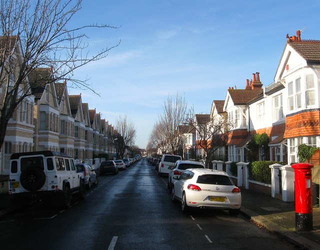
Image: © Simon Carey Taken: 11 Dec 2016
A residential road that runs between Rutland Gardens and Hogarth Road. The eastern end in view had been developed as far as Raphael Road by the 1911 OS map with the rest completed by the 1920s. Named after portriatist Sir Thomas Lawrence and one of a number in the vicinity named after painters.
Images are licensed for reuse under creativecommons.org/licenses/by-sa/2.0
Image Location
Latitude
50.831347
Longitude
-0.18734