The Co-operative Food shop, High Street, Drybrook
Introduction
The photograph on this page of The Co-operative Food shop, High Street, Drybrook by Jaggery as part of the Geograph project.
The Geograph project started in 2005 with the aim of publishing, organising and preserving representative images for every square kilometre of Great Britain, Ireland and the Isle of Man.

There are currently over 7.5m images from over 14,400 individuals and you can help contribute to the project by visiting https://www.geograph.org.uk
The Co-operative Food shop, High Street, Drybrook
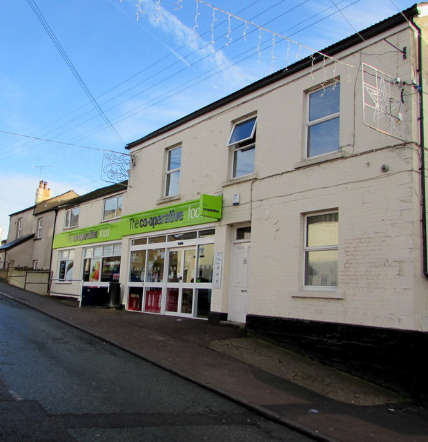
Image: © Jaggery Taken: 11 Dec 2016
Viewed in December 2016. A September 2009 Google Earth Street View shows a Nisa Local shop here.
Images are licensed for reuse under creativecommons.org/licenses/by-sa/2.0
Image Location


Leaflet Map data © OpenStreetMap
Latitude
51.855677
Longitude
-2.515686