Oldforge Bridge causeway on the downstream side
Introduction
The photograph on this page of Oldforge Bridge causeway on the downstream side by Richard Law as part of the Geograph project.
The Geograph project started in 2005 with the aim of publishing, organising and preserving representative images for every square kilometre of Great Britain, Ireland and the Isle of Man.

There are currently over 7.5m images from over 14,400 individuals and you can help contribute to the project by visiting https://www.geograph.org.uk
Oldforge Bridge causeway on the downstream side
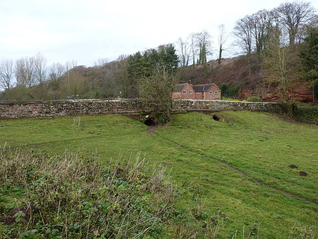
Image: © Richard Law Taken: 11 Dec 2016
This is the downstream, southeasterly side of the Grade II listed structure of Oldforge Bridge, which dates from the 19th century. It was presumably preceded by a ford across the Wesley Brook. The whole structure is more fully described at http://www.britishlistedbuildings.co.uk/en-417336-oldforge-bridge-ryton-#.WE5UFrKLSM8
Images are licensed for reuse under creativecommons.org/licenses/by-sa/2.0
Image Location


Leaflet Map data © OpenStreetMap
Latitude
52.627701
Longitude
-2.366343