Directions sign facing the B4471 in Aberbeeg
Introduction
The photograph on this page of Directions sign facing the B4471 in Aberbeeg by Jaggery as part of the Geograph project.
The Geograph project started in 2005 with the aim of publishing, organising and preserving representative images for every square kilometre of Great Britain, Ireland and the Isle of Man.

There are currently over 7.5m images from over 14,400 individuals and you can help contribute to the project by visiting https://www.geograph.org.uk
Directions sign facing the B4471 in Aberbeeg
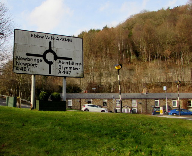
Image: © Jaggery Taken: 9 Dec 2016
On the approach to the roundabout at the junction with the A467 and A4046. The junction, 100 metres behind the sign, is at the northern end of the B4471, which extends for 5 km from Hafodyrynys.
Images are licensed for reuse under creativecommons.org/licenses/by-sa/2.0
Image Location
Latitude
51.710688
Longitude
-3.145941