Farmer's Bridge at Brierley Hill
Introduction
The photograph on this page of Farmer's Bridge at Brierley Hill by Mat Fascione as part of the Geograph project.
The Geograph project started in 2005 with the aim of publishing, organising and preserving representative images for every square kilometre of Great Britain, Ireland and the Isle of Man.

There are currently over 7.5m images from over 14,400 individuals and you can help contribute to the project by visiting https://www.geograph.org.uk
Farmer's Bridge at Brierley Hill
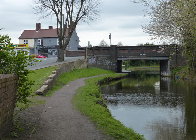
Image: © Mat Fascione Taken: 22 Apr 2016
The bridge carries Moor Street across the Stourbridge Canal. Next to the bridge is the Moor Street Fryer, a fish and chip shop.
Images are licensed for reuse under creativecommons.org/licenses/by-sa/2.0
Image Location
Latitude
52.481655
Longitude
-2.135718