Strath Blane from the air
Introduction
The photograph on this page of Strath Blane from the air by Thomas Nugent as part of the Geograph project.
The Geograph project started in 2005 with the aim of publishing, organising and preserving representative images for every square kilometre of Great Britain, Ireland and the Isle of Man.

There are currently over 7.5m images from over 14,400 individuals and you can help contribute to the project by visiting https://www.geograph.org.uk
Strath Blane from the air
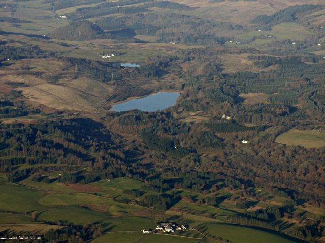
Image: © Thomas Nugent Taken: 4 Dec 2016
Milngavie Golf Club is in the foreground, Dumgoyach and its shadow are prominent in the top left corner.
Images are licensed for reuse under creativecommons.org/licenses/by-sa/2.0
Image Location
Latitude
55.956139
Longitude
-4.343578