Clydebank from the air
Introduction
The photograph on this page of Clydebank from the air by Thomas Nugent as part of the Geograph project.
The Geograph project started in 2005 with the aim of publishing, organising and preserving representative images for every square kilometre of Great Britain, Ireland and the Isle of Man.

There are currently over 7.5m images from over 14,400 individuals and you can help contribute to the project by visiting https://www.geograph.org.uk
Clydebank from the air
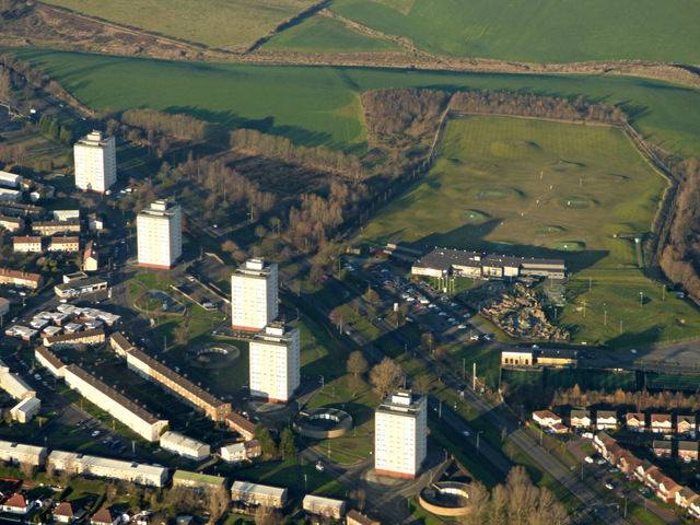
Image: © Thomas Nugent Taken: 4 Dec 2016
The towerblocks are at Kirkoswald Drive, alongside the A82 Great Western Road. The golf driving range across Great Western Road can also be seen.
Images are licensed for reuse under creativecommons.org/licenses/by-sa/2.0
Image Location
Latitude
55.909124
Longitude
-4.390823