Bute Place houses and bus stop, Cwm Nant Gwynt
Introduction
The photograph on this page of Bute Place houses and bus stop, Cwm Nant Gwynt by Jaggery as part of the Geograph project.
The Geograph project started in 2005 with the aim of publishing, organising and preserving representative images for every square kilometre of Great Britain, Ireland and the Isle of Man.

There are currently over 7.5m images from over 14,400 individuals and you can help contribute to the project by visiting https://www.geograph.org.uk
Bute Place houses and bus stop, Cwm Nant Gwynt
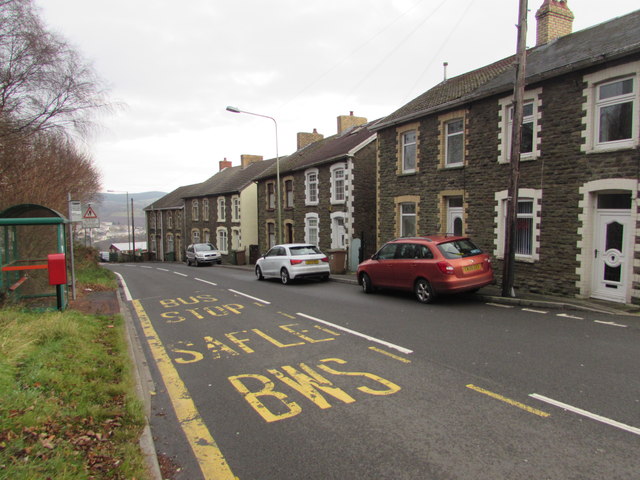
Image: © Jaggery Taken: 9 Dec 2016
Here 260 metres (about 850 ft) above mean sea level, the road descends towards Aberbeeg.
Images are licensed for reuse under creativecommons.org/licenses/by-sa/2.0
Image Location
Latitude
51.701813
Longitude
-3.152373