Potato field viewed from Kirkton of Craig by Montrose
Introduction
The photograph on this page of Potato field viewed from Kirkton of Craig by Montrose by Adrian Diack as part of the Geograph project.
The Geograph project started in 2005 with the aim of publishing, organising and preserving representative images for every square kilometre of Great Britain, Ireland and the Isle of Man.

There are currently over 7.5m images from over 14,400 individuals and you can help contribute to the project by visiting https://www.geograph.org.uk
Potato field viewed from Kirkton of Craig by Montrose
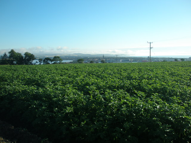
Image: © Adrian Diack Taken: 23 Jul 2016
This photo shows a field of potatoes as viewed from near Kirkton House, the former Manse of Craig.
Images are licensed for reuse under creativecommons.org/licenses/by-sa/2.0
Image Location
Latitude
56.692627
Longitude
-2.48423