Approaching St. Andrews
Introduction
The photograph on this page of Approaching St. Andrews by Klaus Liphard as part of the Geograph project.
The Geograph project started in 2005 with the aim of publishing, organising and preserving representative images for every square kilometre of Great Britain, Ireland and the Isle of Man.

There are currently over 7.5m images from over 14,400 individuals and you can help contribute to the project by visiting https://www.geograph.org.uk
Approaching St. Andrews
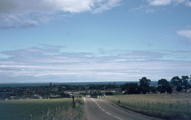
Image: © Klaus Liphard Taken: 20 Jul 1974
Approaching St. Andrews on the A915. I think this photo was taken from the road where the Cairnsmill Caravan Park is today, close to the today's sign "Welcome to St. Andrews".
Images are licensed for reuse under creativecommons.org/licenses/by-sa/2.0
Image Location
Latitude
56.336843
Longitude
-2.799326