Heatherstacks
Introduction
The photograph on this page of Heatherstacks by Anne Burgess as part of the Geograph project.
The Geograph project started in 2005 with the aim of publishing, organising and preserving representative images for every square kilometre of Great Britain, Ireland and the Isle of Man.

There are currently over 7.5m images from over 14,400 individuals and you can help contribute to the project by visiting https://www.geograph.org.uk
Heatherstacks
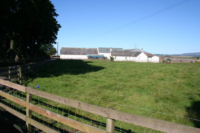
Image: © Anne Burgess Taken: 8 Aug 2007
This is the steading at Heatherstacks. The farm house is hidden by the trees. On the 1865 Ordnance Survey map the farm is named West Mains of Carsegray.
Images are licensed for reuse under creativecommons.org/licenses/by-sa/2.0
Image Location


Leaflet Map data © OpenStreetMap
Latitude
56.660329
Longitude
-2.897191