Heatherstacks
Introduction
The photograph on this page of Heatherstacks by Anne Burgess as part of the Geograph project.
The Geograph project started in 2005 with the aim of publishing, organising and preserving representative images for every square kilometre of Great Britain, Ireland and the Isle of Man.

There are currently over 7.5m images from over 14,400 individuals and you can help contribute to the project by visiting https://www.geograph.org.uk
Heatherstacks
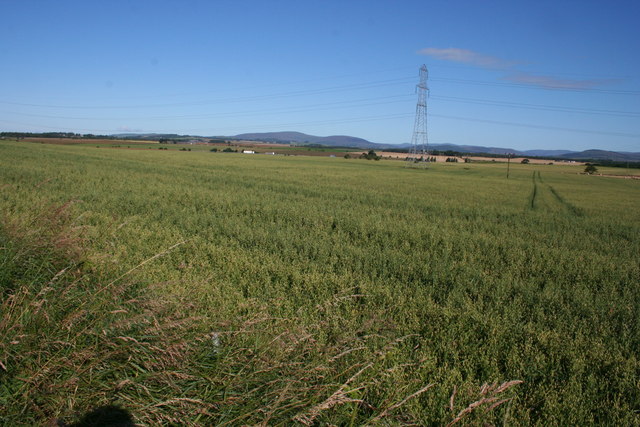
Image: © Anne Burgess Taken: 8 Aug 2007
A field of oats at Heatherstacks, with the foothills of the Grampians beyond. The hill on the horizon is Cat Law, whose summit is in NO3161.
Images are licensed for reuse under creativecommons.org/licenses/by-sa/2.0
Image Location
Latitude
56.662698
Longitude
-2.905078