Path to Weets Hill
Introduction
The photograph on this page of Path to Weets Hill by Bill Boaden as part of the Geograph project.
The Geograph project started in 2005 with the aim of publishing, organising and preserving representative images for every square kilometre of Great Britain, Ireland and the Isle of Man.

There are currently over 7.5m images from over 14,400 individuals and you can help contribute to the project by visiting https://www.geograph.org.uk
Path to Weets Hill
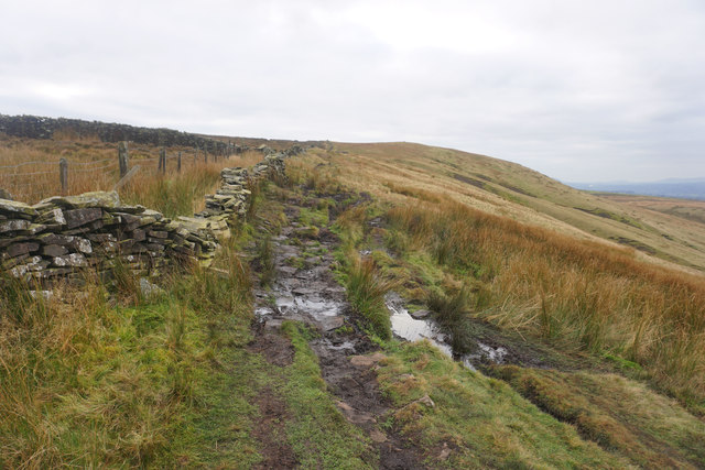
Image: © Bill Boaden Taken: 3 Dec 2016
The top of the hill is visible ahead, and you can make out the trig pillar on it. A stream crosses the path here meaning you have to pick your way a little more carefully.
Images are licensed for reuse under creativecommons.org/licenses/by-sa/2.0
Image Location
Latitude
53.90233
Longitude
-2.210298