National Cycle Route 492, Elled Road, Pontnewynydd
Introduction
The photograph on this page of National Cycle Route 492, Elled Road, Pontnewynydd by M J Roscoe as part of the Geograph project.
The Geograph project started in 2005 with the aim of publishing, organising and preserving representative images for every square kilometre of Great Britain, Ireland and the Isle of Man.

There are currently over 7.5m images from over 14,400 individuals and you can help contribute to the project by visiting https://www.geograph.org.uk
National Cycle Route 492, Elled Road, Pontnewynydd
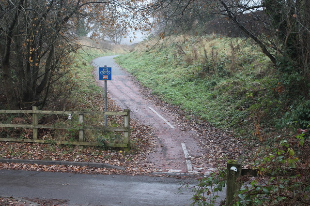
Image: © M J Roscoe Taken: 6 Dec 2016
Junction of cycle route, on former railway track bed, and Elled Road.
Images are licensed for reuse under creativecommons.org/licenses/by-sa/2.0
Image Location
Latitude
51.708329
Longitude
-3.052097