Into the fog, Woodside Road, Trevethin
Introduction
The photograph on this page of Into the fog, Woodside Road, Trevethin by Jaggery as part of the Geograph project.
The Geograph project started in 2005 with the aim of publishing, organising and preserving representative images for every square kilometre of Great Britain, Ireland and the Isle of Man.

There are currently over 7.5m images from over 14,400 individuals and you can help contribute to the project by visiting https://www.geograph.org.uk
Into the fog, Woodside Road, Trevethin
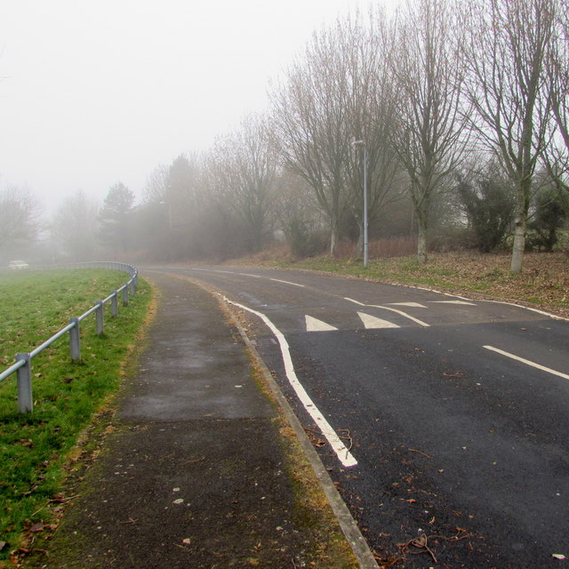
Image: © Jaggery Taken: 5 Dec 2016
Viewed on December 5th 2016, a day when the fog was much denser here at 275 metres (about 900 ft) above mean sea level, near the northern edge of Pontypool, than in lower-lying central Pontypool. A sign http://www.geograph.org.uk/photo/5218110 behind the camera warns of humps across the road for 200 yards ahead.
Images are licensed for reuse under creativecommons.org/licenses/by-sa/2.0
Image Location
Latitude
51.718622
Longitude
-3.04727