The long axis slope of a drumlin overlooking the Clanrye flood plain
Introduction
The photograph on this page of The long axis slope of a drumlin overlooking the Clanrye flood plain by Eric Jones as part of the Geograph project.
The Geograph project started in 2005 with the aim of publishing, organising and preserving representative images for every square kilometre of Great Britain, Ireland and the Isle of Man.

There are currently over 7.5m images from over 14,400 individuals and you can help contribute to the project by visiting https://www.geograph.org.uk
The long axis slope of a drumlin overlooking the Clanrye flood plain
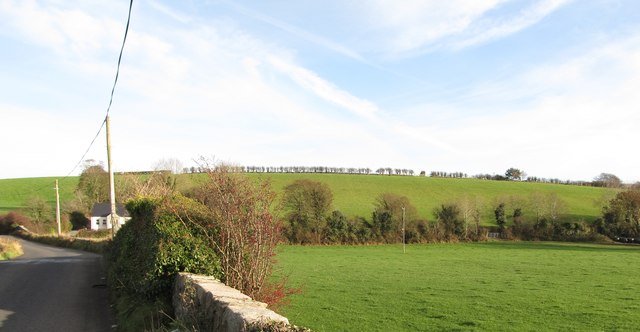
Image: © Eric Jones Taken: 30 Nov 2016
This slope, highly visible from the B8 (Hilltown Road), is the one where the slogan "Up Down" is displayed when the county team is doing well. Image]
Images are licensed for reuse under creativecommons.org/licenses/by-sa/2.0
Image Location
Latitude
54.184016
Longitude
-6.298376