Site of "Angler's Arms Inn" - December 2016
Introduction
The photograph on this page of Site of "Angler's Arms Inn" - December 2016 by The Carlisle Kid as part of the Geograph project.
The Geograph project started in 2005 with the aim of publishing, organising and preserving representative images for every square kilometre of Great Britain, Ireland and the Isle of Man.

There are currently over 7.5m images from over 14,400 individuals and you can help contribute to the project by visiting https://www.geograph.org.uk
Site of "Angler's Arms Inn" - December 2016
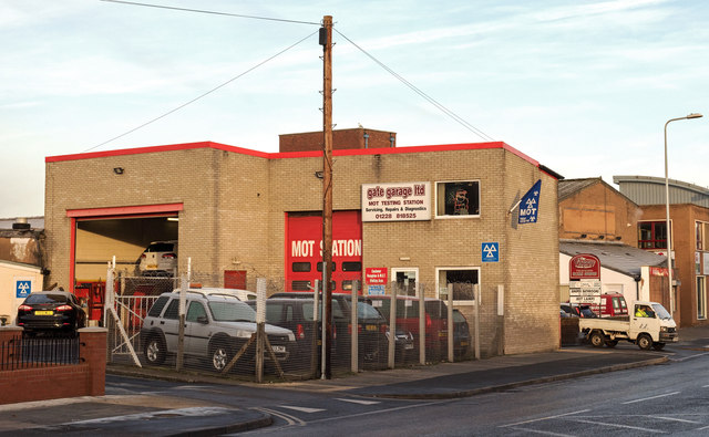
Image: © The Carlisle Kid Taken: 5 Dec 2016
Little seems to be known of the "Angler's Arms", which was situated on the corner of Rigg Street and Shaddongate and was closed by the State Management Scheme on 12 October 1916. Although some of the small streets off Shaddongate have vanished, this is thought to be the pub's approximate location. Photograph is for record only - I have no connection with any business seen in this view and cannot advise on their products or services.
Images are licensed for reuse under creativecommons.org/licenses/by-sa/2.0
Image Location
Latitude
54.893073
Longitude
-2.945253