The end of Scotswood Road, Newcastle upon Tyne
Introduction
The photograph on this page of The end of Scotswood Road, Newcastle upon Tyne by Graham Robson as part of the Geograph project.
The Geograph project started in 2005 with the aim of publishing, organising and preserving representative images for every square kilometre of Great Britain, Ireland and the Isle of Man.

There are currently over 7.5m images from over 14,400 individuals and you can help contribute to the project by visiting https://www.geograph.org.uk
The end of Scotswood Road, Newcastle upon Tyne
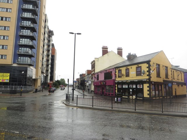
Image: © Graham Robson Taken: 16 Oct 2016
Looking across the road from the Centre for Life towards the start of Scotswood Road.
Images are licensed for reuse under creativecommons.org/licenses/by-sa/2.0
Image Location
Latitude
54.967156
Longitude
-1.621821