Road to Craigendoran
Introduction
The photograph on this page of Road to Craigendoran by Lairich Rig as part of the Geograph project.
The Geograph project started in 2005 with the aim of publishing, organising and preserving representative images for every square kilometre of Great Britain, Ireland and the Isle of Man.

There are currently over 7.5m images from over 14,400 individuals and you can help contribute to the project by visiting https://www.geograph.org.uk
Road to Craigendoran
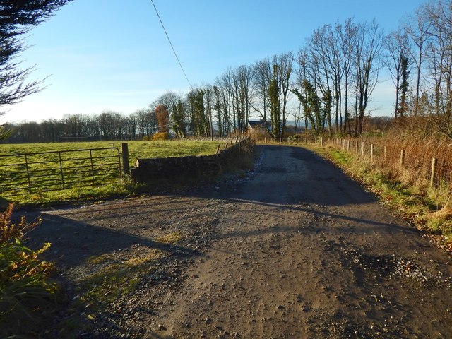
Image: © Lairich Rig Taken: 23 Nov 2016
A house called Woodhead Cottage is directly ahead. In the left foreground is the start of the driveway to another house, Tigh-na-Mara.
Images are licensed for reuse under creativecommons.org/licenses/by-sa/2.0
Image Location
Latitude
56.000344
Longitude
-4.695913