Lane towards Tingewick
Introduction
The photograph on this page of Lane towards Tingewick by Robin Webster as part of the Geograph project.
The Geograph project started in 2005 with the aim of publishing, organising and preserving representative images for every square kilometre of Great Britain, Ireland and the Isle of Man.

There are currently over 7.5m images from over 14,400 individuals and you can help contribute to the project by visiting https://www.geograph.org.uk
Lane towards Tingewick
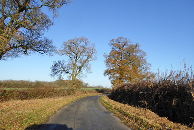
Image: © Robin Webster Taken: 4 Dec 2016
This route or its trace parallels the Roman Bicester - Towcester road (partly now the A4421) at a remove of about 1 km for around 10 km, from Stratton Audley to the River Ouse north of Tingewick. This view is where the otherwise fairly straight route has a significant modern distortion across a stream and its low-lying land. The perhaps earlier straighter crossing is hinted at by a footpath and parish boundary.
Images are licensed for reuse under creativecommons.org/licenses/by-sa/2.0
Image Location
Latitude
51.95361
Longitude
-1.087156