Brabazon Road Community Centre
Introduction
The photograph on this page of Brabazon Road Community Centre by Des Blenkinsopp as part of the Geograph project.
The Geograph project started in 2005 with the aim of publishing, organising and preserving representative images for every square kilometre of Great Britain, Ireland and the Isle of Man.

There are currently over 7.5m images from over 14,400 individuals and you can help contribute to the project by visiting https://www.geograph.org.uk
Brabazon Road Community Centre
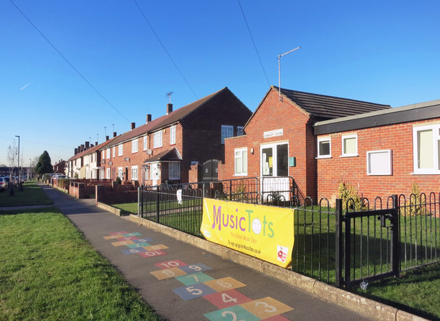
Image: © Des Blenkinsopp Taken: 29 Nov 2016
Home to a play school as well, by the look of it.
Images are licensed for reuse under creativecommons.org/licenses/by-sa/2.0
Image Location
Latitude
51.481261
Longitude
-0.396869