Langhurst Road at the junction of Burnt House Lane
Introduction
The photograph on this page of Langhurst Road at the junction of Burnt House Lane by David Howard as part of the Geograph project.
The Geograph project started in 2005 with the aim of publishing, organising and preserving representative images for every square kilometre of Great Britain, Ireland and the Isle of Man.

There are currently over 7.5m images from over 14,400 individuals and you can help contribute to the project by visiting https://www.geograph.org.uk
Langhurst Road at the junction of Burnt House Lane
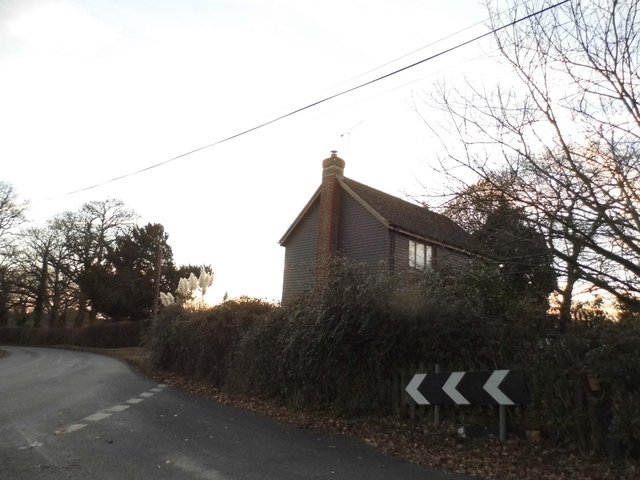
Image: © David Howard Taken: 4 Dec 2016
Although the village is called Langhurst the OS map calls the road itself Longhurst, but I have the photo of the recently added sign now saying Langhurst. Of course long/lang are the same words at different ends of Britain meaning long.
Images are licensed for reuse under creativecommons.org/licenses/by-sa/2.0
Image Location
Latitude
51.123339
Longitude
-0.257245