Muddy field entrance, near Swaithe Bridge
Introduction
The photograph on this page of Muddy field entrance, near Swaithe Bridge by Christine Johnstone as part of the Geograph project.
The Geograph project started in 2005 with the aim of publishing, organising and preserving representative images for every square kilometre of Great Britain, Ireland and the Isle of Man.

There are currently over 7.5m images from over 14,400 individuals and you can help contribute to the project by visiting https://www.geograph.org.uk
Muddy field entrance, near Swaithe Bridge
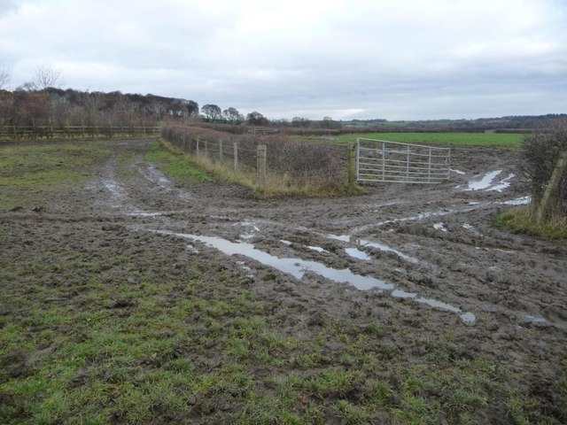
Image: © Christine Johnstone Taken: 3 Dec 2016
On the route of the former Worsbrough branch of the Dearne & Dove Canal. The Worsbrough branch closed in 1906. The field boundary [with its public footpath] marks the route of the towpath.
Images are licensed for reuse under creativecommons.org/licenses/by-sa/2.0
Image Location
Latitude
53.530886
Longitude
-1.438002