Path up the north-east side of the Dove Valley viaduct
Introduction
The photograph on this page of Path up the north-east side of the Dove Valley viaduct by Christine Johnstone as part of the Geograph project.
The Geograph project started in 2005 with the aim of publishing, organising and preserving representative images for every square kilometre of Great Britain, Ireland and the Isle of Man.

There are currently over 7.5m images from over 14,400 individuals and you can help contribute to the project by visiting https://www.geograph.org.uk
Path up the north-east side of the Dove Valley viaduct
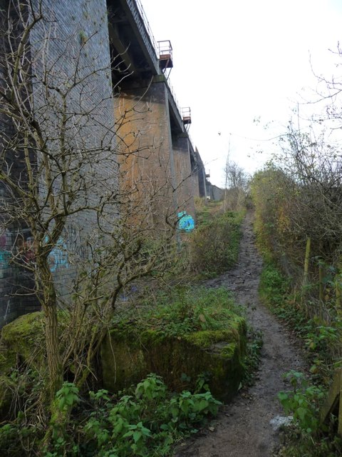
Image: © Christine Johnstone Taken: 3 Dec 2016
Not mapped, but well-used. It connects local public footpaths with the Trans Pennine / Dove Valley Trail below. The viaduct is used by Barnsley - Sheffield trains.
Images are licensed for reuse under creativecommons.org/licenses/by-sa/2.0
Image Location
Latitude
53.529089
Longitude
-1.438026