Portland Road, Hove
Introduction
The photograph on this page of Portland Road, Hove by Simon Carey as part of the Geograph project.
The Geograph project started in 2005 with the aim of publishing, organising and preserving representative images for every square kilometre of Great Britain, Ireland and the Isle of Man.

There are currently over 7.5m images from over 14,400 individuals and you can help contribute to the project by visiting https://www.geograph.org.uk
Portland Road, Hove
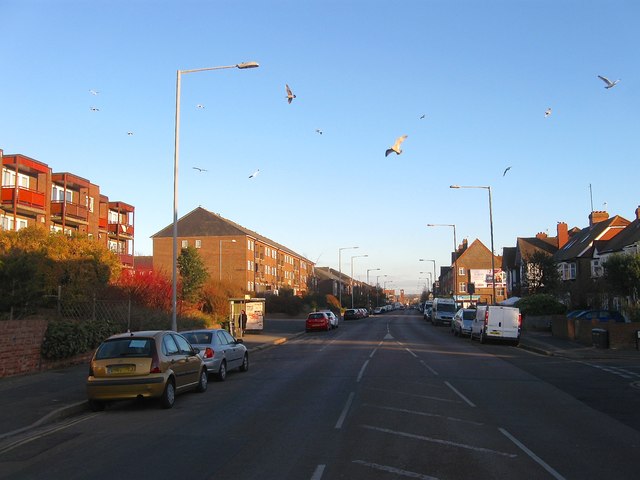
Image: © Simon Carey Taken: 3 Dec 2016
One of four east-west roads that run parallel to each other through the old parish of Aldrington, the others being Kingsway (A259), New Church Road (B2066) and Old Shoreham Road (A270). The road was laid out in the 1870s and developed gradually over the next forty or so years.
Images are licensed for reuse under creativecommons.org/licenses/by-sa/2.0
Image Location
Latitude
50.834545
Longitude
-0.196447