Florence Avenue, Hove
Introduction
The photograph on this page of Florence Avenue, Hove by Simon Carey as part of the Geograph project.
The Geograph project started in 2005 with the aim of publishing, organising and preserving representative images for every square kilometre of Great Britain, Ireland and the Isle of Man.

There are currently over 7.5m images from over 14,400 individuals and you can help contribute to the project by visiting https://www.geograph.org.uk
Florence Avenue, Hove
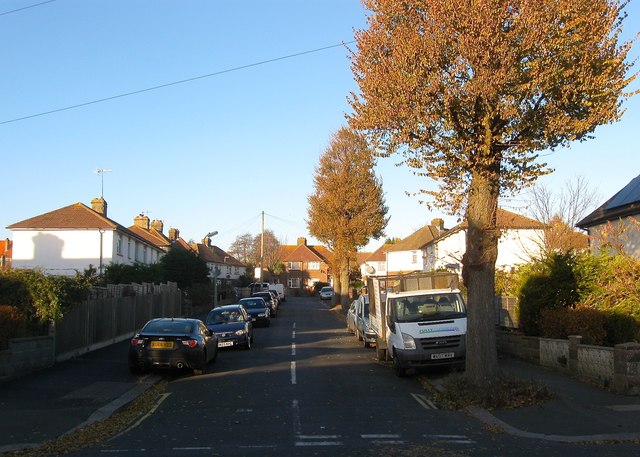
Image: © Simon Carey Taken: 3 Dec 2016
A residential road that links Hallyburton Road to Olive Road. Part of the Hallyburton estate which was developed in 1925 between the railway and Old Shoreham Road on a former field called Barn Field, according to Aldrington's 1841 tithe map, with the roads named after a local landowner and both his and the builder's daughters.
Images are licensed for reuse under creativecommons.org/licenses/by-sa/2.0
Image Location
Latitude
50.837303
Longitude
-0.200318