Kenton Road, Aldrington, Hove
Introduction
The photograph on this page of Kenton Road, Aldrington, Hove by Simon Carey as part of the Geograph project.
The Geograph project started in 2005 with the aim of publishing, organising and preserving representative images for every square kilometre of Great Britain, Ireland and the Isle of Man.

There are currently over 7.5m images from over 14,400 individuals and you can help contribute to the project by visiting https://www.geograph.org.uk
Kenton Road, Aldrington, Hove
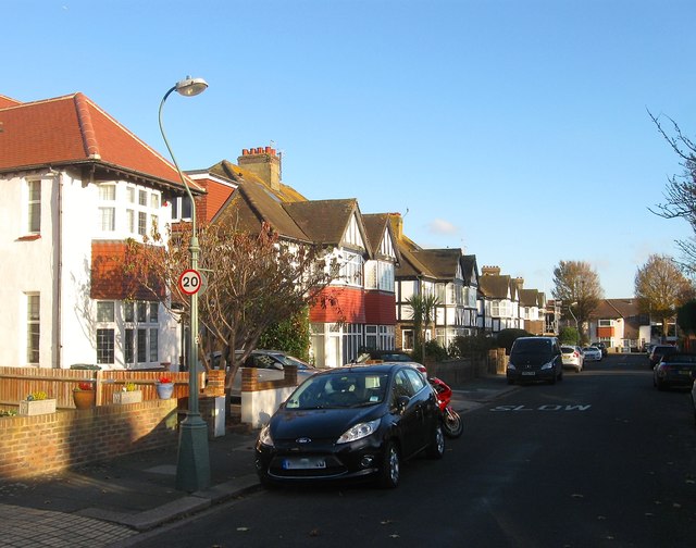
Image: © Simon Carey Taken: 3 Dec 2016
A residential road that runs between Derek Avenue and St Keyna Avenue that was laid out in the 1920s but not developed until the following decade.
Images are licensed for reuse under creativecommons.org/licenses/by-sa/2.0
Image Location
Latitude
50.831571
Longitude
-0.201816