Homelands, Burrington
Introduction
The photograph on this page of Homelands, Burrington by Derek Harper as part of the Geograph project.
The Geograph project started in 2005 with the aim of publishing, organising and preserving representative images for every square kilometre of Great Britain, Ireland and the Isle of Man.

There are currently over 7.5m images from over 14,400 individuals and you can help contribute to the project by visiting https://www.geograph.org.uk
Homelands, Burrington
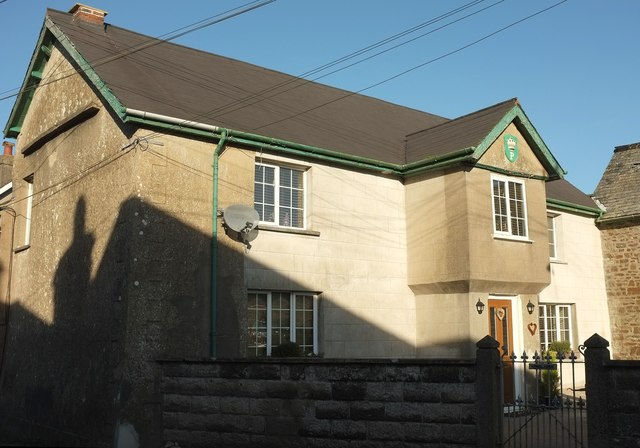
Image: © Derek Harper Taken: 30 Nov 2016
Also visible in Image The crest on the jettied porch "features an Earls Coronet above the letter ‘P’. The house belonged to the Earl of Plymouth who owned an estate in the parish of Burrington, but it is unclear whether the Earl ever stayed here or if his estate was simply administered by others from this house." http://northdevon.gov.uk/media/290583/li-list_burr-chulm.pdf .
Images are licensed for reuse under creativecommons.org/licenses/by-sa/2.0
Image Location
Latitude
50.933544
Longitude
-3.938781