Village street, Burrington
Introduction
The photograph on this page of Village street, Burrington by Derek Harper as part of the Geograph project.
The Geograph project started in 2005 with the aim of publishing, organising and preserving representative images for every square kilometre of Great Britain, Ireland and the Isle of Man.

There are currently over 7.5m images from over 14,400 individuals and you can help contribute to the project by visiting https://www.geograph.org.uk
Village street, Burrington
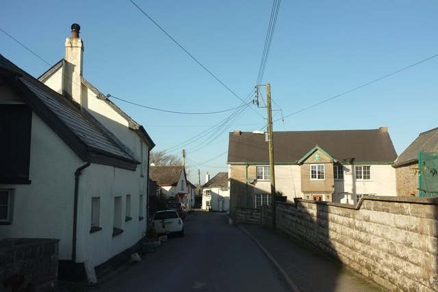
Image: © Derek Harper Taken: 30 Nov 2016
The C18 (possibly also C17) Homelands, on the right, has a crest of the Earl of Plymouth on the projecting porch gable http://northdevon.gov.uk/media/290583/li-list_burr-chulm.pdf .
Images are licensed for reuse under creativecommons.org/licenses/by-sa/2.0
Image Location
Latitude
50.933544
Longitude
-3.938781