
Up the Lickey Incline, Bromsgrove
Introduction
The photograph on this page of Up the Lickey Incline, Bromsgrove by Jaggery as part of the Geograph project.
The Geograph project started in 2005 with the aim of publishing, organising and preserving representative images for every square kilometre of Great Britain, Ireland and the Isle of Man.

There are currently over 7.5m images from over 14,400 individuals and you can help contribute to the project by visiting https://www.geograph.org.uk
Up the Lickey Incline, Bromsgrove
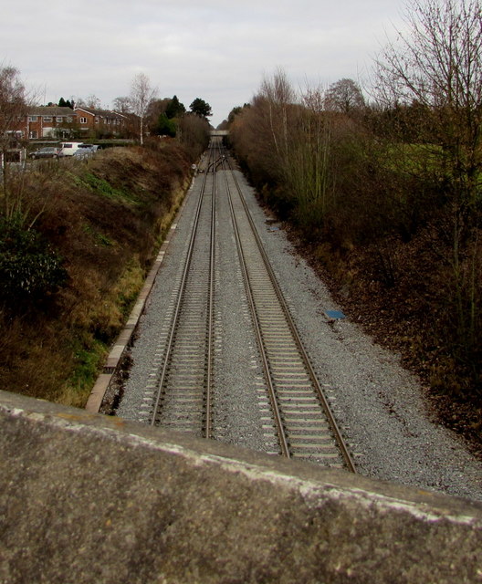
Image: © Jaggery Taken: 3 Dec 2016
Viewed from St Godwald's Road bridge http://www.geograph.org.uk/photo/5214358 looking towards the Finstall Road bridge. Bromsgrove railway station is behind the camera. The gradient is 1 in 37.7 (2.65%) for 3.2 km (2 miles). Such a gradient is trifling for road vehicles, but is significant for a railway - the Lickey Incline is the steepest sustained mainline railway incline in Great Britain. In the steam era, to assist trains up the incline, or in some cases to provide additional braking on the descent, particularly for freight trains without brakes on individual wagons, specialised banking engines were kept at Bromsgrove shed at the bottom of the incline.
Images are licensed for reuse under creativecommons.org/licenses/by-sa/2.0
Image Location

Latitude
52.324848
Longitude
-2.043533