A27 Eastbound Carriageway
Introduction
The photograph on this page of A27 Eastbound Carriageway by Simon Carey as part of the Geograph project.
The Geograph project started in 2005 with the aim of publishing, organising and preserving representative images for every square kilometre of Great Britain, Ireland and the Isle of Man.

There are currently over 7.5m images from over 14,400 individuals and you can help contribute to the project by visiting https://www.geograph.org.uk
A27 Eastbound Carriageway
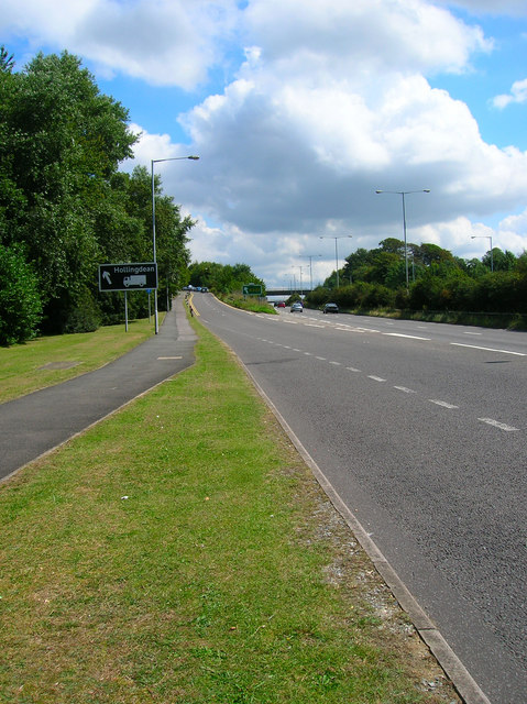
Image: © Simon Carey Taken: 8 Aug 2007
The sliproad is the B2133 that the eastern entrance to the University and also access to both halves of Falmer village and the road to Rottingdean.
Images are licensed for reuse under creativecommons.org/licenses/by-sa/2.0
Image Location
Latitude
50.863509
Longitude
-0.083918