Urban bridleway
Introduction
The photograph on this page of Urban bridleway by E Gammie as part of the Geograph project.
The Geograph project started in 2005 with the aim of publishing, organising and preserving representative images for every square kilometre of Great Britain, Ireland and the Isle of Man.

There are currently over 7.5m images from over 14,400 individuals and you can help contribute to the project by visiting https://www.geograph.org.uk
Urban bridleway
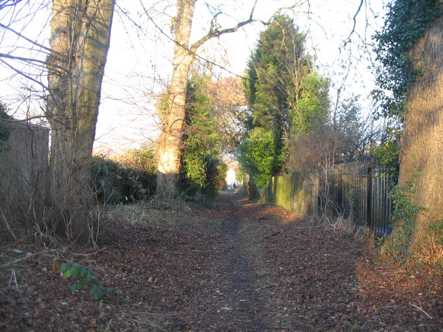
Image: © E Gammie Taken: 1 Dec 2016
The bottom part of the public bridleway which runs parallel to Glendower Avenue near its exit onto Allesley Old Road. See also Image] (2007).
Images are licensed for reuse under creativecommons.org/licenses/by-sa/2.0
Image Location
Latitude
52.411918
Longitude
-1.548327