Flash flooding in North Chew Terrace, Chew Magna
Introduction
The photograph on this page of Flash flooding in North Chew Terrace, Chew Magna by Dr Duncan Pepper as part of the Geograph project.
The Geograph project started in 2005 with the aim of publishing, organising and preserving representative images for every square kilometre of Great Britain, Ireland and the Isle of Man.

There are currently over 7.5m images from over 14,400 individuals and you can help contribute to the project by visiting https://www.geograph.org.uk
Flash flooding in North Chew Terrace, Chew Magna
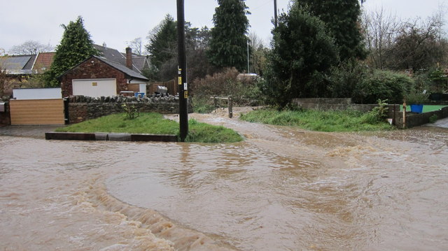
Image: © Dr Duncan Pepper Taken: 21 Nov 2016
All this was caused by a small brook normally about a foot deep.
Images are licensed for reuse under creativecommons.org/licenses/by-sa/2.0
Image Location
Latitude
51.367546
Longitude
-2.607143