The site of the former Pont Rhyd y Saint Halt
Introduction
The photograph on this page of The site of the former Pont Rhyd y Saint Halt by Eric Jones as part of the Geograph project.
The Geograph project started in 2005 with the aim of publishing, organising and preserving representative images for every square kilometre of Great Britain, Ireland and the Isle of Man.

There are currently over 7.5m images from over 14,400 individuals and you can help contribute to the project by visiting https://www.geograph.org.uk
The site of the former Pont Rhyd y Saint Halt
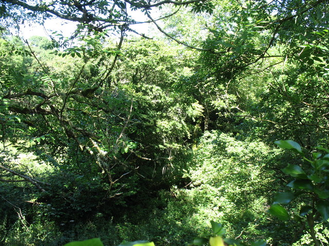
Image: © Eric Jones Taken: 30 Jul 2007
This was one of the seven stopping places on the failed Holland Arms-Benllech railway. Pont Rhyd y Saint means "bridge of the ford of the saints" http://www.bbc.co.uk/wales/northwest/sites/history/pages/wharfbayrailway.shtml Image
Images are licensed for reuse under creativecommons.org/licenses/by-sa/2.0
Image Location
Latitude
53.258192
Longitude
-4.251017