Wick Place and the A128
Introduction
The photograph on this page of Wick Place and the A128 by Glyn Baker as part of the Geograph project.
The Geograph project started in 2005 with the aim of publishing, organising and preserving representative images for every square kilometre of Great Britain, Ireland and the Isle of Man.

There are currently over 7.5m images from over 14,400 individuals and you can help contribute to the project by visiting https://www.geograph.org.uk
Wick Place and the A128
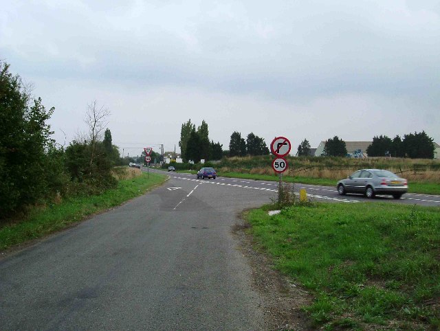
Image: © Glyn Baker Taken: 10 Sep 2005
This is the Junction of Wick Place and the A128. This is a notorious accident black-spot the 50mph limit and no right-turn are recent introductions
Images are licensed for reuse under creativecommons.org/licenses/by-sa/2.0
Image Location


Leaflet Map data © OpenStreetMap
Latitude
51.54535
Longitude
0.369484