River Pinn going under the Grand Union Canal
Introduction
The photograph on this page of River Pinn going under the Grand Union Canal by Rob Emms as part of the Geograph project.
The Geograph project started in 2005 with the aim of publishing, organising and preserving representative images for every square kilometre of Great Britain, Ireland and the Isle of Man.

There are currently over 7.5m images from over 14,400 individuals and you can help contribute to the project by visiting https://www.geograph.org.uk
River Pinn going under the Grand Union Canal
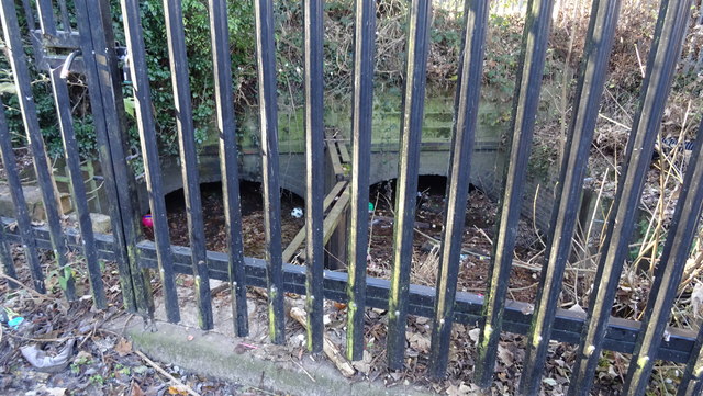
Image: © Rob Emms Taken: 1 Dec 2016
It's not a pleasant sight, and with little to no water movement. Once under canal things improve a great deal, by flowing through a wooded area which is difficult to access. Then in three hundred metres the River Pinn flows into the Fray’s River. See other two images of this site.
Images are licensed for reuse under creativecommons.org/licenses/by-sa/2.0
Image Location
Latitude
51.517158
Longitude
-0.479203