Pasture along Kirk Beck
Introduction
The photograph on this page of Pasture along Kirk Beck by Andrew Curtis as part of the Geograph project.
The Geograph project started in 2005 with the aim of publishing, organising and preserving representative images for every square kilometre of Great Britain, Ireland and the Isle of Man.

There are currently over 7.5m images from over 14,400 individuals and you can help contribute to the project by visiting https://www.geograph.org.uk
Pasture along Kirk Beck
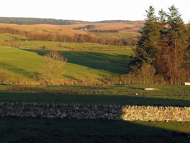
Image: © Andrew Curtis Taken: 25 Nov 2016
A view from Bew Castle (built within the remains of a Roman Fort), along the valley of Kirk Beck, to Barron's Pike (the location of a Roman Signal Station) Image
Images are licensed for reuse under creativecommons.org/licenses/by-sa/2.0
Image Location


Leaflet Map data © OpenStreetMap
Latitude
55.065337
Longitude
-2.676857