Balls Corner
Introduction
The photograph on this page of Balls Corner by Derek Harper as part of the Geograph project.
The Geograph project started in 2005 with the aim of publishing, organising and preserving representative images for every square kilometre of Great Britain, Ireland and the Isle of Man.

There are currently over 7.5m images from over 14,400 individuals and you can help contribute to the project by visiting https://www.geograph.org.uk
Balls Corner
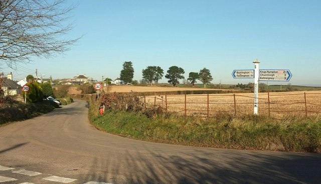
Image: © Derek Harper Taken: 30 Nov 2016
The road from Colleton Mills tuns sharply right here at the junction with a steep lane up from Balls Bridge, and immediately picks up houses at the edge of the village of Burrington.
Images are licensed for reuse under creativecommons.org/licenses/by-sa/2.0
Image Location
Latitude
50.929644
Longitude
-3.935346