The Bridgewater Canal at Monton
Introduction
The photograph on this page of The Bridgewater Canal at Monton by Bill Boaden as part of the Geograph project.
The Geograph project started in 2005 with the aim of publishing, organising and preserving representative images for every square kilometre of Great Britain, Ireland and the Isle of Man.

There are currently over 7.5m images from over 14,400 individuals and you can help contribute to the project by visiting https://www.geograph.org.uk
The Bridgewater Canal at Monton
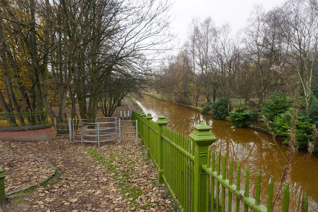
Image: © Bill Boaden Taken: 30 Nov 2016
Looking down from Parrin Lane. The towpath is probably the most direct route from here to Worsley.
Images are licensed for reuse under creativecommons.org/licenses/by-sa/2.0
Image Location
Latitude
53.492208
Longitude
-2.358684