Overgrown track, Garn Lakes LNR, Garn-yr-erw
Introduction
The photograph on this page of Overgrown track, Garn Lakes LNR, Garn-yr-erw by M J Roscoe as part of the Geograph project.
The Geograph project started in 2005 with the aim of publishing, organising and preserving representative images for every square kilometre of Great Britain, Ireland and the Isle of Man.

There are currently over 7.5m images from over 14,400 individuals and you can help contribute to the project by visiting https://www.geograph.org.uk
Overgrown track, Garn Lakes LNR, Garn-yr-erw
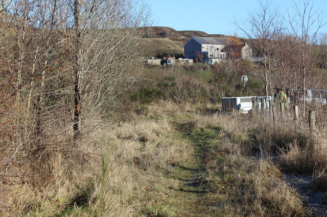
Image: © M J Roscoe Taken: 29 Nov 2016
A grassy track, reduced to footpath width, between the border of reed beds (left) and the bird nesting area in the nature reserve. The house in the background is on Garn Road and on the skyline is a disused coal waste tip.
Images are licensed for reuse under creativecommons.org/licenses/by-sa/2.0
Image Location
Latitude
51.779774
Longitude
-3.105074