Mining landscape, Bentley Lane
Introduction
The photograph on this page of Mining landscape, Bentley Lane by Richard Webb as part of the Geograph project.
The Geograph project started in 2005 with the aim of publishing, organising and preserving representative images for every square kilometre of Great Britain, Ireland and the Isle of Man.

There are currently over 7.5m images from over 14,400 individuals and you can help contribute to the project by visiting https://www.geograph.org.uk
Mining landscape, Bentley Lane
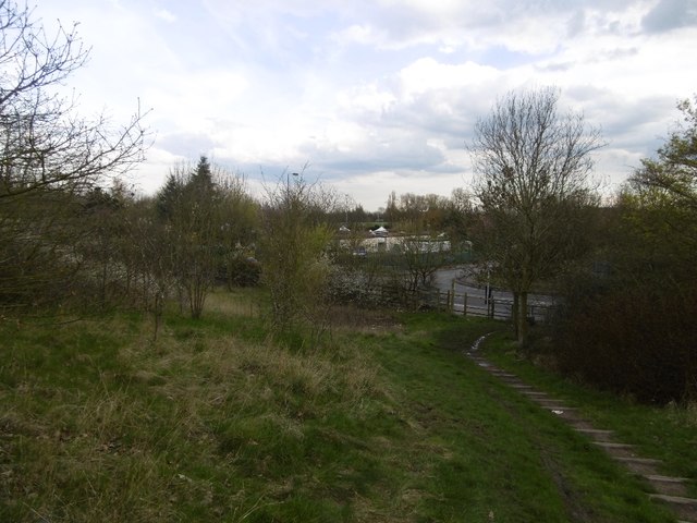
Image: © Richard Webb Taken: 13 Apr 2016
The bings and scrub south of Rough Wood was landscaped as a golf course around 1990, but it never opened. It is now growing into woodland and becoming more alike Rough Wood itself over the canal.
Images are licensed for reuse under creativecommons.org/licenses/by-sa/2.0
Image Location
Latitude
52.600307
Longitude
-2.025942