Open Space, Greenwood
Introduction
The photograph on this page of Open Space, Greenwood by Des Blenkinsopp as part of the Geograph project.
The Geograph project started in 2005 with the aim of publishing, organising and preserving representative images for every square kilometre of Great Britain, Ireland and the Isle of Man.

There are currently over 7.5m images from over 14,400 individuals and you can help contribute to the project by visiting https://www.geograph.org.uk
Open Space, Greenwood
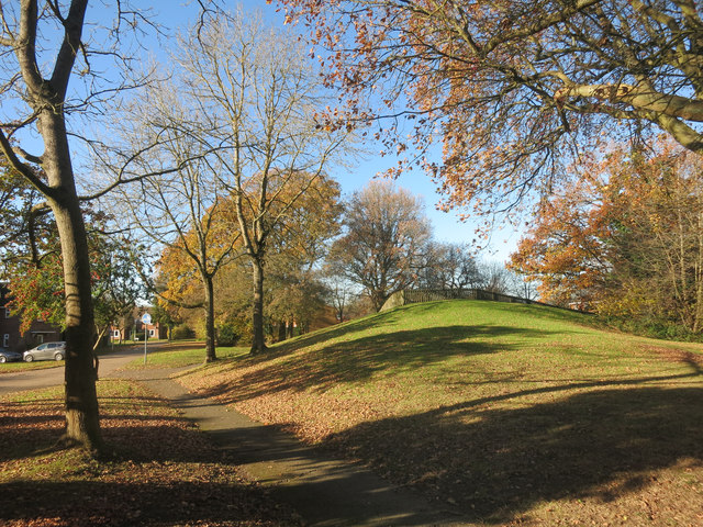
Image: © Des Blenkinsopp Taken: 28 Nov 2016
Greenwood is an estate of military housing to the north of Walters Ash. Quite a lot of grassy space and trees between the buildings.
Images are licensed for reuse under creativecommons.org/licenses/by-sa/2.0
Image Location
Latitude
51.680792
Longitude
-0.795271