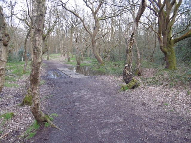
Rough Wood
Introduction
The photograph on this page of Rough Wood by Richard Webb as part of the Geograph project.
The Geograph project started in 2005 with the aim of publishing, organising and preserving representative images for every square kilometre of Great Britain, Ireland and the Isle of Man.
There are currently over 7.5m images from over 14,400 individuals and you can help contribute to the project by visiting https://www.geograph.org.uk

Image: © Richard Webb Taken: 13 Apr 2016
Oak woods on old mining ground, there are many depressions due to bell pits. The northern part of the wood is marked as woodland on 19th century maps so the mining here was a long time ago. The bit by the canal has bigger bings and was mined on a bigger scale. There are lots of lovely old twisted oaks in here, but also big patches of thorns. The orienteering map is very green.

