Path to the canal, Wilstone
Introduction
The photograph on this page of Path to the canal, Wilstone by Robert Eva as part of the Geograph project.
The Geograph project started in 2005 with the aim of publishing, organising and preserving representative images for every square kilometre of Great Britain, Ireland and the Isle of Man.

There are currently over 7.5m images from over 14,400 individuals and you can help contribute to the project by visiting https://www.geograph.org.uk
Path to the canal, Wilstone
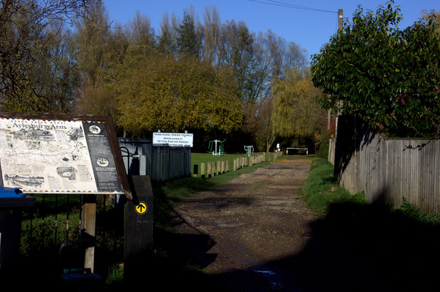
Image: © Robert Eva Taken: 25 Nov 2016
This path goes past the village hall and sports ground to the canal foot bridge. The board on the left gives information about the various places on the Aylesbury Arm of the canal. The last witch hunt and trial by ducking in Hertfordshire took place here in 1751.
Images are licensed for reuse under creativecommons.org/licenses/by-sa/2.0
Image Location
Latitude
51.820033
Longitude
-0.690725