Warrington Road, Leigh.
Introduction
The photograph on this page of Warrington Road, Leigh. by Keith Williamson as part of the Geograph project.
The Geograph project started in 2005 with the aim of publishing, organising and preserving representative images for every square kilometre of Great Britain, Ireland and the Isle of Man.

There are currently over 7.5m images from over 14,400 individuals and you can help contribute to the project by visiting https://www.geograph.org.uk
Warrington Road, Leigh.
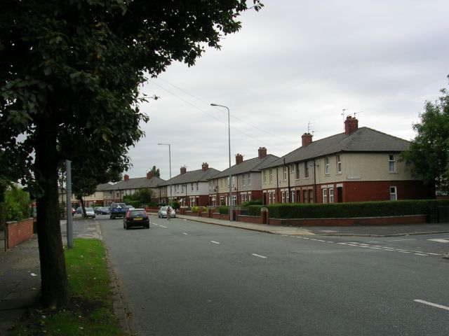
Image: © Keith Williamson Taken: 11 Sep 2005
Looking south down Warrington Road, Leigh near its junction with Hope Carr Road. Typical housing for this part of Leigh. SJ 66919792.
Images are licensed for reuse under creativecommons.org/licenses/by-sa/2.0
Image Location
Latitude
53.487924
Longitude
-2.500164