Kitchen Lane, Ashmore Park
Introduction
The photograph on this page of Kitchen Lane, Ashmore Park by Richard Webb as part of the Geograph project.
The Geograph project started in 2005 with the aim of publishing, organising and preserving representative images for every square kilometre of Great Britain, Ireland and the Isle of Man.

There are currently over 7.5m images from over 14,400 individuals and you can help contribute to the project by visiting https://www.geograph.org.uk
Kitchen Lane, Ashmore Park
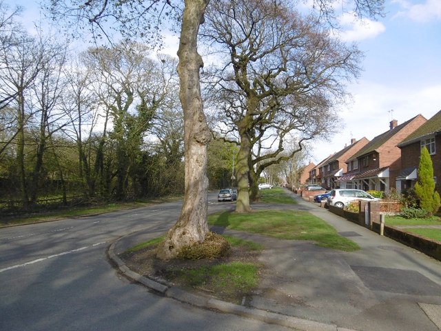
Image: © Richard Webb Taken: 13 Apr 2016
The road predates the housing estate. There was a colliery here once, and a mineral line used to run behind the trees on the left.
Images are licensed for reuse under creativecommons.org/licenses/by-sa/2.0
Image Location
Latitude
52.62106
Longitude
-2.061849