Telegraph cable hut, Dumpton Gap
Introduction
The photograph on this page of Telegraph cable hut, Dumpton Gap by Robin Webster as part of the Geograph project.
The Geograph project started in 2005 with the aim of publishing, organising and preserving representative images for every square kilometre of Great Britain, Ireland and the Isle of Man.

There are currently over 7.5m images from over 14,400 individuals and you can help contribute to the project by visiting https://www.geograph.org.uk
Telegraph cable hut, Dumpton Gap
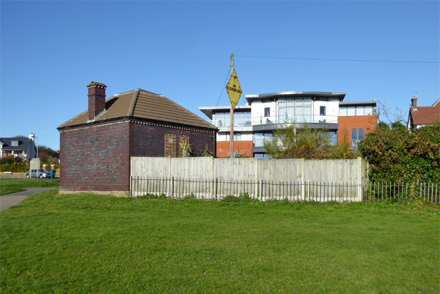
Image: © Robin Webster Taken: 29 Nov 2016
Mapped as such, but the yellow diamond sign refers to a telephone cable. This is or was the land termination of a cable to mainland Europe.
Images are licensed for reuse under creativecommons.org/licenses/by-sa/2.0
Image Location
Latitude
51.348599
Longitude
1.438245