North Bethelnie
Introduction
The photograph on this page of North Bethelnie by Andrew Wood as part of the Geograph project.
The Geograph project started in 2005 with the aim of publishing, organising and preserving representative images for every square kilometre of Great Britain, Ireland and the Isle of Man.

There are currently over 7.5m images from over 14,400 individuals and you can help contribute to the project by visiting https://www.geograph.org.uk
North Bethelnie
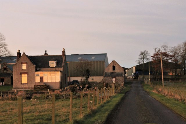
Image: © Andrew Wood Taken: 23 Nov 2016
North Bethelnie Farm, the evening light reflecting of the farmhouse windows and a cattle feed truck delivering to the farm.
Images are licensed for reuse under creativecommons.org/licenses/by-sa/2.0
Image Location
Latitude
57.373066
Longitude
-2.364798