The path in the dip
Introduction
The photograph on this page of The path in the dip by Neil Owen as part of the Geograph project.
The Geograph project started in 2005 with the aim of publishing, organising and preserving representative images for every square kilometre of Great Britain, Ireland and the Isle of Man.

There are currently over 7.5m images from over 14,400 individuals and you can help contribute to the project by visiting https://www.geograph.org.uk
The path in the dip
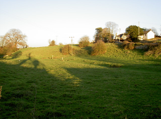
Image: © Neil Owen Taken: 28 Nov 2016
A small valley in the surrounding landscape runs through Manor Farm and on through Ston Easton Park; a footpath follows the little stream when it runs. See Image] for its golden sign.
Images are licensed for reuse under creativecommons.org/licenses/by-sa/2.0
Image Location


Leaflet Map data © OpenStreetMap
Latitude
51.278595
Longitude
-2.538155